


The 1867 Register of places of non-conformist worship includes an entry for a Bible Christian society labelled The Marsh. It met “in a building the property of James Hunt, in a road or way leading to Falcon terrace at East Cowes.”
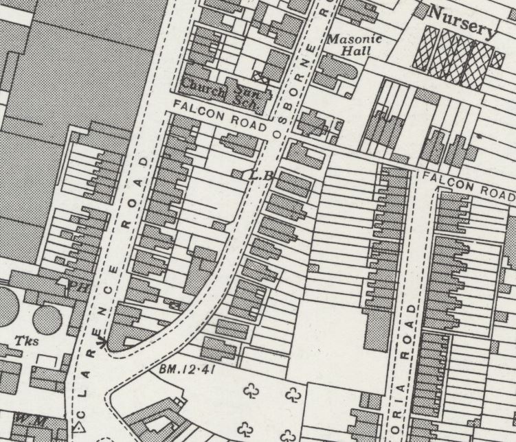
The 1896 Ordnance Survey map shows a chapel on Falcon Road fronting onto Clarence Road. The rear of the site up to Osborne Road is empty. By the 1907 map, the chapel is still there with the same footprint, and an attached Sunday school has been added to the rear, fronting Osborne Road. It’s the same on the 1939 map (published 1947).
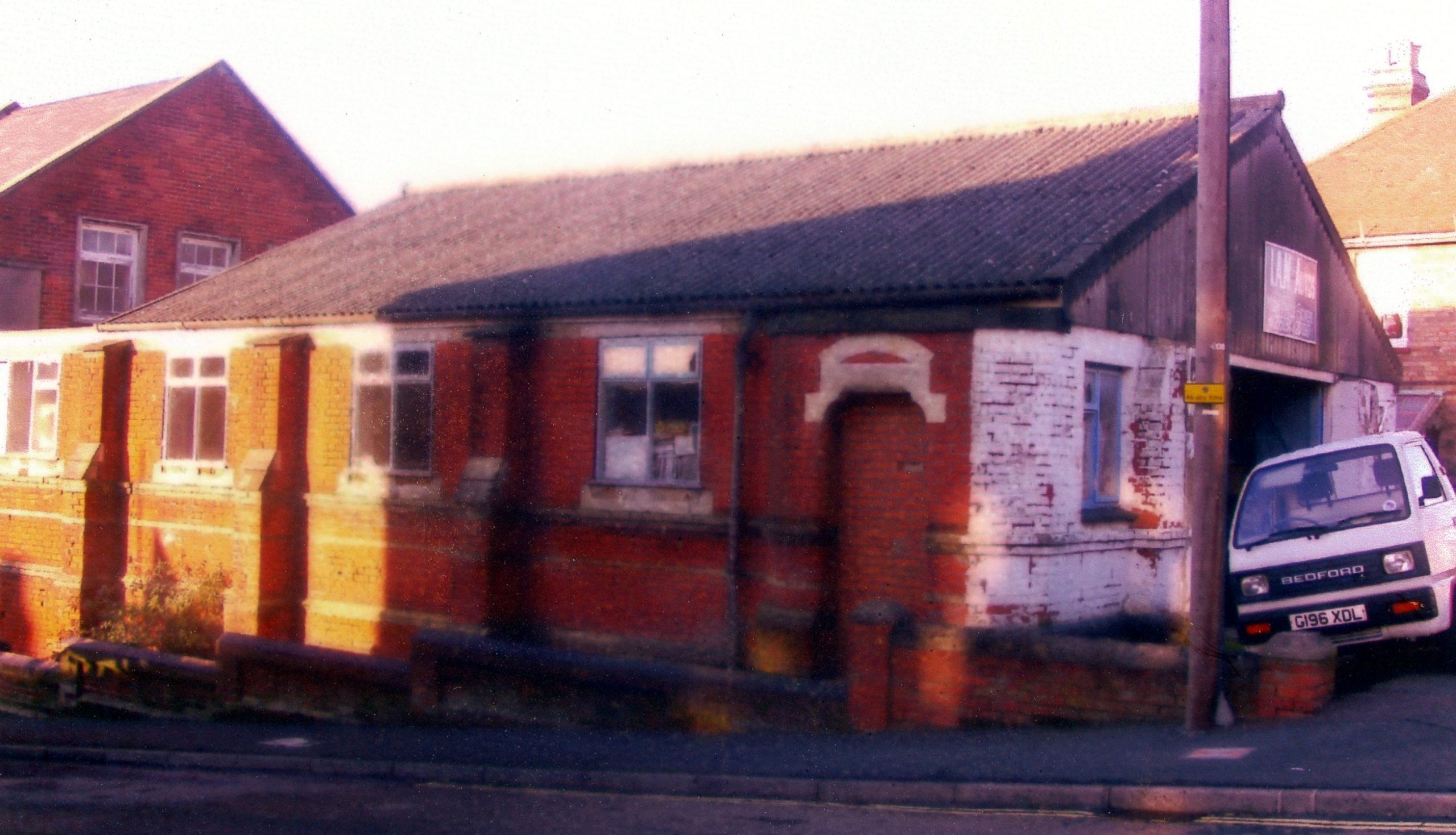
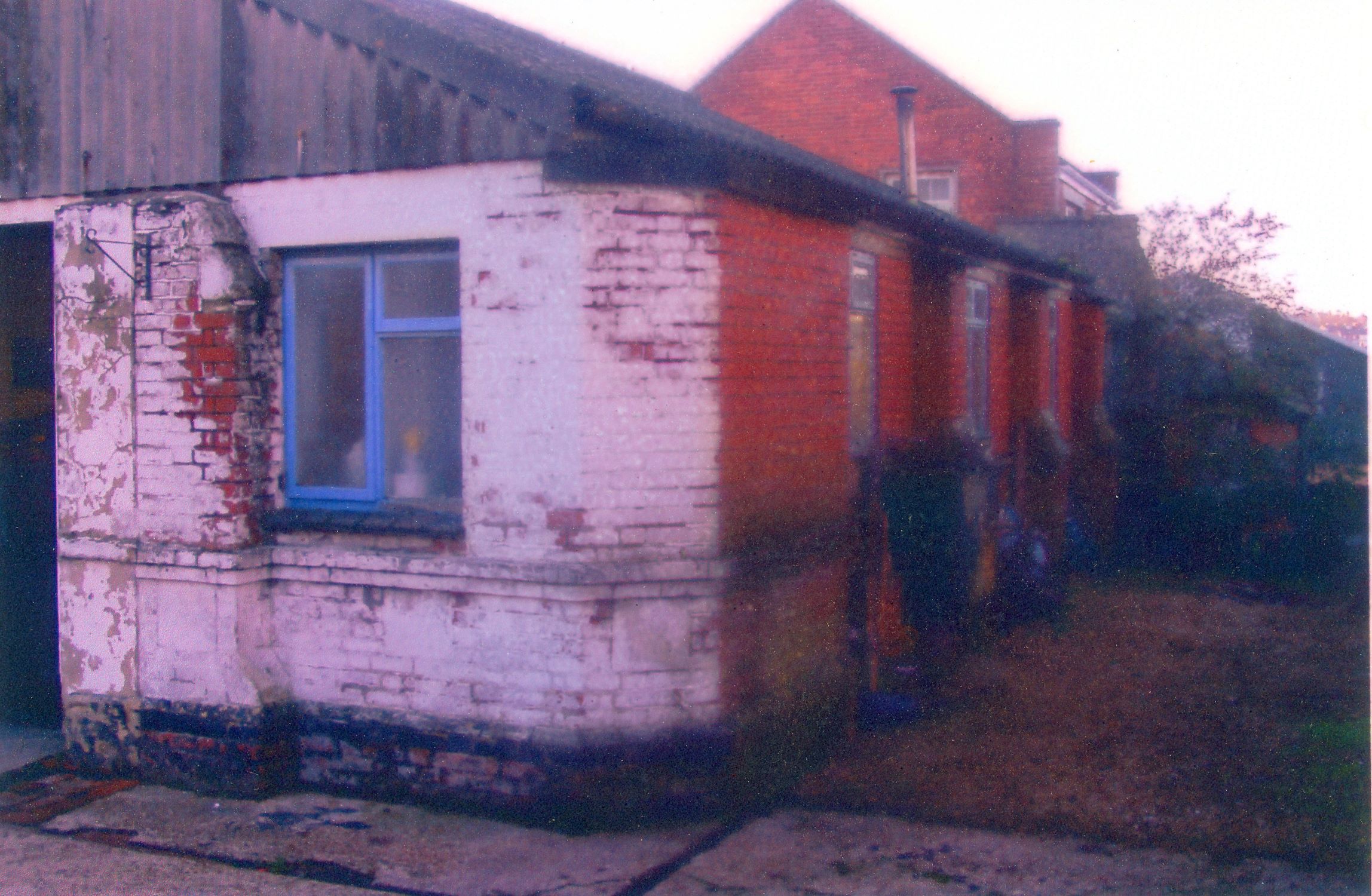
Thanks to Ian Graham for passing on from his mother’s papers the pictures of the former School Room. The pictures were taken by John Barnes in 2003 when the building was in use as a garage, although there had been a planning application for its replacement by four dwellings. There were a number of dedication stones, with varying degrees of legibility:
- ??? Matthews
- Laid by Mr E Matthews
- Mr J Blake
- Mr F Fleming
- Miss Alice Jacobs
- In memory of Miss Alice Coles – laid by her grandson, WH Brading
WH Brading was a local builder.
Streetview in 2016 shows Clarence Road Evangelical Church on the site of the original chapel. Is that a later building or does it include parts of the original? The Sunday school has been replaced by a short terrace of housing.
No Comments
Add a comment about this page